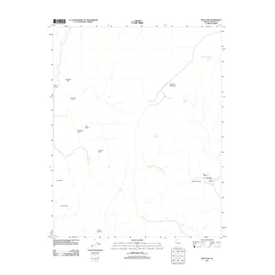
2011 Map of Moccasin
USGS Topo · Published 2011About this map
Moccasin and its surrounding high desert landscape are defined by a network of vital water sources and dramatic geologic formations. Located at the base of the Moccasin Mountains, this small settlement is the focal point for the region's human geography, anchored by the Moccasin Post Office. The reliance on local hydrology is evident through the numerous named water points including Moccasin Spring, Upper Moccasin Springs, and Wooley Spring, which likely served as essential stops in this arid environment. The terrain is marked by significant elevation changes, from the heights of Parashont Point to the prominent Vermilion Cliffs. The map reveals a land structured by seasonal drainage and livestock history, shown through names like Sandy Canyon Wash, Bull Pasture, and Burnt Corral Spring. This 2011 survey captures the area's enduring character as a remote outpost where the landscape dictates the pattern of life.
Find a feature on this map
25 named features on this map. Tap any name to fly to it.
Don’t see what you’re looking for? This feature index may not catch every label — zoom into the map to look around manually.
Map Details
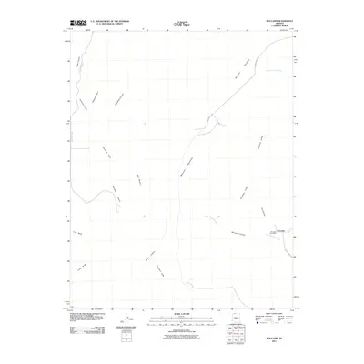
Editions of this 2011 Moccasin Map
2 editions found
Other maps of this area
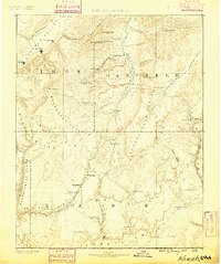
1886 · Kanab
USGS Topo · 1:250,000
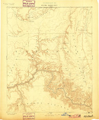
1886 · Kaibab
USGS Topo · 1:250,000
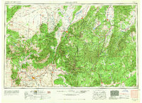
1953 · Cedar City
USGS Topo · 1:250,000
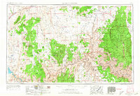
1953 · Grand Canyon
USGS Topo · 1:250,000
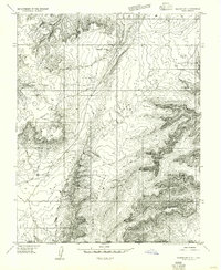
1954 · Kanab SW
USGS Topo · 1:24,000
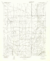
1954 · Short Creek SW
USGS Topo · 1:24,000
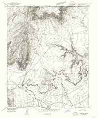
1954 · Fredonia NW
USGS Topo · 1:24,000
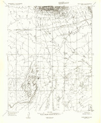
1954 · Short Creek SE
USGS Topo · 1:24,000
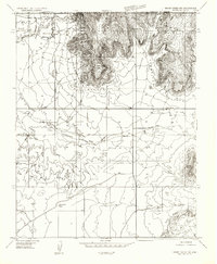
1954 · Short Creek NW
USGS Topo · 1:24,000
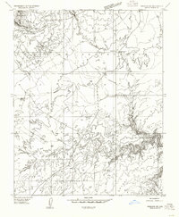
1954 · Fredonia SW
USGS Topo · 1:24,000