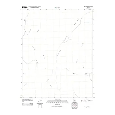
2011 Map of Moccasin
USGS Topo · Published 2011About this map
The high desert settlement of Moccasin anchors this corner of Mohave County, where the landmark Moccasin Post Office serves as a vital community hub near the base of the Moccasin Mountains. The landscape is dominated by the dramatic elevation changes of the Vermilion Cliffs, which cut across the territory alongside deep drainage features like Moccasin Canyon and South Moccasin Wash.
Find a feature on this map
19 named features on this map. Tap any name to fly to it.
Don’t see what you’re looking for? This feature index may not catch every label — zoom into the map to look around manually.
Map Details
Editions of this 2011 Moccasin Map
2 editions found
Other maps of this area

1886 · Kanab
USGS Topo · 1:250,000

1886 · Kaibab
USGS Topo · 1:250,000

1953 · Cedar City
USGS Topo · 1:250,000

1953 · Grand Canyon
USGS Topo · 1:250,000

1954 · Kanab SW
USGS Topo · 1:24,000
1954 · Short Creek SW
USGS Topo · 1:24,000

1954 · Fredonia NW
USGS Topo · 1:24,000

1954 · Short Creek SE
USGS Topo · 1:24,000
1954 · Short Creek NW
USGS Topo · 1:24,000

1954 · Fredonia SW
USGS Topo · 1:24,000