
1948 Map of Modoc
USGS Topo · Published 1951About this map
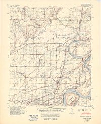
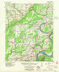
The Mississippi River defines the southeastern boundary of this survey, where the Modoc Crevasse serves as a stark reminder of the region's historical battle with flooding. This delta landscape is crisscrossed by the Missouri Pacific railroad, which supported a string of early 20th-century settlements like Elaine, Lambrook, and Ratio. The area is notably dense with community institutions, including the Rosenwald Sch and numerous country churches such as New Jerusalem Ch & Cem and Mt Zion Ch & Cem.
Find a feature on this map
91 named features on this map. Tap any name to fly to it.
Don’t see what you’re looking for? This feature index may not catch every label — zoom into the map to look around manually.
Map Details
Editions of this 1948 Modoc Map
3 editions found
Other maps of this area

1930 · Mellwood
USGS Topo · 1:62,500

1935 · Clarksdale
USGS Topo · 1:62,500

1939 · Farrell
USGS Topo · 1:62,500

1939 · Modoc
USGS Topo · 1:62,500

1939 · Indian Bay
USGS Topo · 1:62,500

1939 · Henrico
USGS Topo · 1:62,500

1939 · Clarksdale
USGS Topo · 1:62,500

1939 · Latour
USGS Topo · 1:62,500

1939 · Mellwood
USGS Topo · 1:62,500

1940 · Marvell
USGS Topo · 1:62,500