
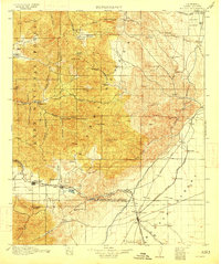
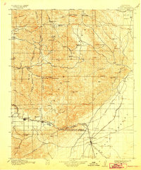
1915 Map of Mojave
USGS Topo · Published 1915About this map
The intersection of the Southern Pacific and At And Sf railroads at Mojave anchors this 1915 survey of the eastern Tehachapi range. The landscape is defined by its transition from high desert to rugged interior peaks, notably the Piute Mountains and the Tehachapi Mountains. Between these ranges, the Tehachapi Pass serves as a critical corridor for both rail and water, highlighted by the presence of the Aqueduct moving south toward Los Angeles.
Find a feature on this map
93 named features on this map. Tap any name to fly to it.
Don’t see what you’re looking for? This feature index may not catch every label — zoom into the map to look around manually.
Map Details
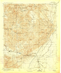
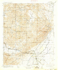
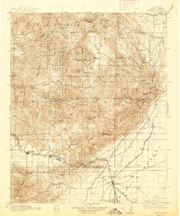
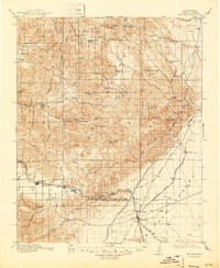
Editions of this 1915 Mojave Map
7 editions found
Other maps of this area

1903 · Tejon
USGS Topo · 1:125,000

1906 · Kernville
USGS Topo · 1:125,000

1908 · Kernville
USGS Topo · 1:125,000

1914 · Caliente
USGS Topo · 1:125,000

1915 · Elizabeth Lake
USGS Topo · 1:125,000

1915 · Searles Lake
USGS Topo · 1:250,000

1917 · Elizabeth Lake
USGS Topo · 1:125,000

1920 · Delonagha
USGS Topo · 1:62,500

1926 · Glennville
USGS Topo · 1:62,500

1936 · Tobias Peak
USGS Topo · 1:125,000