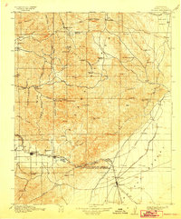
1915 Map of Mojave
USGS Topo · Published 1942About this map
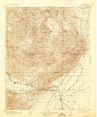
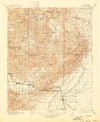
Mining operations and remote ranching settlements dot the high desert and mountain slopes of Kern County as captured in this 1912-1913 survey. The Piute Mountains and Sierra Nevada dominate the center, where the Joe Walker Mine and Gwynne Mine represent the region's extraction history. Local commerce and mail routes are anchored by the Paris Loraine PO and Claraville, while the southern expanse reveals the industrial infrastructure of the era. The Los Angeles Aqueduct snakes through the terrain near the junction of the Southern Pacific and A T and S F railroads at Mojave. Researchers can trace the development of the Tehachapi Pass, seeing the proximity of the Limestone Quarry to the settlement of Monolith, and locating rural landmarks like the Cameron Valley School and the historic Old Town site near Tehachapi.
Find a feature on this map
104 named features on this map. Tap any name to fly to it.
Don’t see what you’re looking for? This feature index may not catch every label — zoom into the map to look around manually.
Map Details
Editions of this 1915 Mojave Map
7 editions found
Other maps of this area

1903 · Tejon
USGS Topo · 1:125,000

1906 · Kernville
USGS Topo · 1:125,000

1908 · Kernville
USGS Topo · 1:125,000

1914 · Caliente
USGS Topo · 1:125,000

1915 · Elizabeth Lake
USGS Topo · 1:125,000

1915 · Searles Lake
USGS Topo · 1:250,000

1915 · Mojave
USGS Topo · 1:125,000

1917 · Elizabeth Lake
USGS Topo · 1:125,000

1920 · Delonagha
USGS Topo · 1:62,500

1926 · Glennville
USGS Topo · 1:62,500