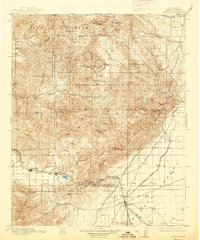
1915 Map of Mojave
USGS Topo · Published 1938About this map
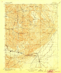
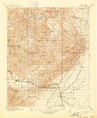
The high desert and mountain passes of eastern Kern County are captured here during a period of industrial expansion, centered on the strategic junctions at Tehachapi and Mojave. The terrain is defined by the Piute Mountains and the arid expanse of the Mojave Desert, where early infrastructure like the Los Angeles Aqueduct and the Keeler Road (Owenyo Branch) begin to reshape the landscape.
Find a feature on this map
70 named features on this map. Tap any name to fly to it.
Don’t see what you’re looking for? This feature index may not catch every label — zoom into the map to look around manually.
Map Details
Editions of this 1915 Mojave Map
7 editions found
Other maps of this area

1903 · Tejon
USGS Topo · 1:125,000

1906 · Kernville
USGS Topo · 1:125,000

1908 · Kernville
USGS Topo · 1:125,000

1914 · Caliente
USGS Topo · 1:125,000

1915 · Elizabeth Lake
USGS Topo · 1:125,000

1915 · Searles Lake
USGS Topo · 1:250,000

1915 · Mojave
USGS Topo · 1:125,000

1917 · Elizabeth Lake
USGS Topo · 1:125,000

1920 · Delonagha
USGS Topo · 1:62,500

1926 · Glennville
USGS Topo · 1:62,500