
1947 Map of Mojave
USGS Topo · Published 1947About this map
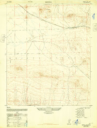
Mojave serves as a critical desert junction in the late 1940s, where the high desert meets the foothills of the Tehachapi Mountains. This transition is marked by a massive infrastructure network, including the Los Angeles Aqueduct winding across the terrain and the convergence of two major rail lines: the Southern Pacific and the Atchison Topeka and Santa Fe. The landscape reflects a mix of civilian and military interests, featuring the Muroc Naval Air Station (Abandoned) and a sprawling Military Reservation to the east of the town center.
Find a feature on this map
17 named features on this map. Tap any name to fly to it.
Don’t see what you’re looking for? This feature index may not catch every label — zoom into the map to look around manually.
Map Details
Editions of this 1947 Mojave Map
This is the sole edition of this map. No revisions or reprints were ever made.
Other maps of this area

1915 · Elizabeth Lake
USGS Topo · 1:125,000

1915 · Mojave
USGS Topo · 1:125,000

1917 · Elizabeth Lake
USGS Topo · 1:125,000

1943 · Rosamond
USGS Topo · 1:62,500

1943 · Tehachapi
USGS Topo · 1:62,500

1943 · Mojave
USGS Topo · 1:62,500

1943 · Willow Springs
USGS Topo · 1:62,500

1947 · Plano
USGS Topo · 1:24,000
1947 · Bissell
USGS Topo · 1:24,000

1947 · Soledad Mountain
USGS Topo · 1:24,000