
1898 Map of Monadnock
USGS Topo · Published 1898About this map
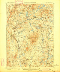
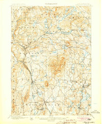
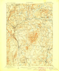
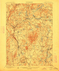
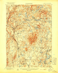
Monadnock Mt. dominates the landscape of this late-nineteenth-century survey, surrounded by the evolving industrial and agricultural townships of Cheshire and Hillsboro counties. The terrain is defined by prominent peaks like Gap Mt. and Skatutakee Mt., which give rise to numerous basins such as Nubanusit Lake and Silver Lake. At the base of the central peak sits Mountain House, a notable landmark for early recreational travel in the region.
Find a feature on this map
106 named features on this map. Tap any name to fly to it.
Don’t see what you’re looking for? This feature index may not catch every label — zoom into the map to look around manually.
Map Details
Editions of this 1898 Monadnock Map
8 editions found
Other maps of this area

1887 · Warwick
USGS Topo · 1:62,500

1887 · Winchendon
USGS Topo · 1:62,500

1887 · Fitchburg
USGS Topo · 1:62,500

1889 · Fitchburg
USGS Topo · 1:62,500

1889 · Warwick
USGS Topo · 1:62,500

1890 · Winchendon
USGS Topo · 1:62,500

1893 · Fitchburg
USGS Topo · 1:62,500

1894 · Winchendon
USGS Topo · 1:62,500

1894 · Warwick
USGS Topo · 1:62,500

1898 · Keene
USGS Topo · 1:62,500