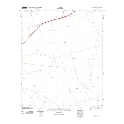
2010 Map of Monahans SE
USGS Topo · Published 2010About this map
The Janelle Oil Field and Crawar Oil Field dominate this landscape southeast of Monahans, revealing a region defined by petroleum extraction and ranching infrastructure. Numerous named windmills, such as Bill Vest Windmill and NorthEstes Windmill, are scattered across the desert terrain, likely serving as critical water points for livestock in this arid environment. The naming conventions of these features, including HighLonesome Windmill and Twin Tubs Windmill, reflect the personal history and colloquial identifiers used by local landholders.
Find a feature on this map
28 named features on this map. Tap any name to fly to it.
Don’t see what you’re looking for? This feature index may not catch every label — zoom into the map to look around manually.
Map Details
Editions of this 2010 Monahans SE Map
This is the sole edition of this map. No revisions or reprints were ever made.
Other maps of this area

1954 · Pecos
USGS Topo · 1:250,000

1957 · Pecos
USGS Topo · 1:250,000

1964 · Metz
USGS Topo · 1:24,000

1964 · Penwell SW
USGS Topo · 1:24,000

1968 · Monahans SE
USGS Topo · 1:24,000

1968 · Cowden Place
USGS Topo · 1:24,000

1968 · China Ranch
USGS Topo · 1:24,000

1969 · Ozark Lake
USGS Topo · 1:24,000

1969 · Monahans
USGS Topo · 1:24,000

1969 · 7 L Ranch
USGS Topo · 1:24,000