Loading...
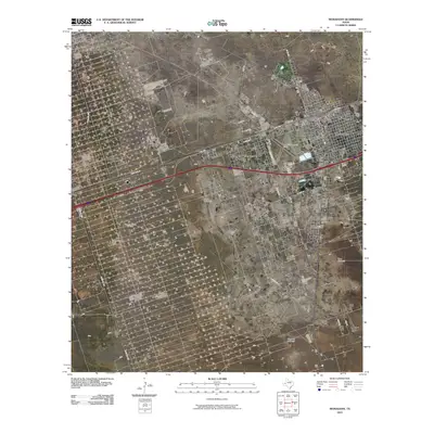
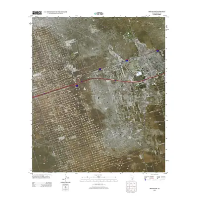
Loading map...2022 Map of Monahans
USGS Topo · Published 2022About this map
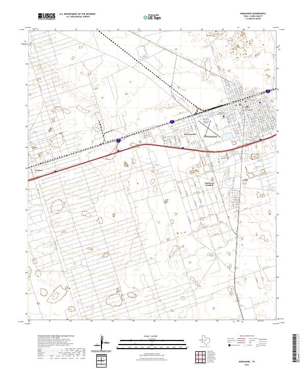
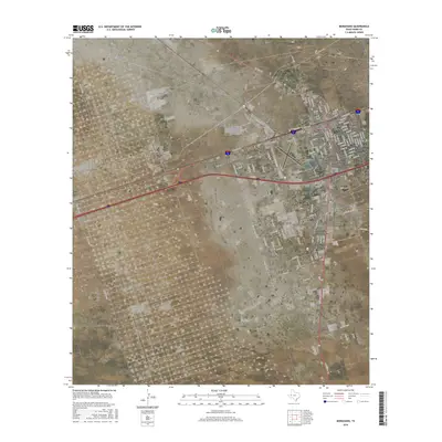
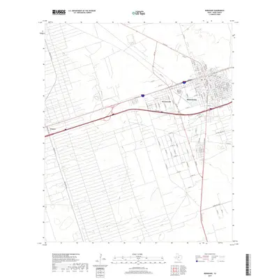
Monahans serves as the focal point of this Ward County study, exhibiting a dense street grid that includes the Ward County Courthouse and the Monahans Memorial Cem. The transportation infrastructure is defined by a network of local routes like N Main Ave and W Sealy Ave, which connect the urban center to the neighboring communities of Thorntonville and Wickett.
Find a feature on this map
108 named features on this map. Tap any name to fly to it.
Don’t see what you’re looking for? This feature index may not catch every label — zoom into the map to look around manually.
Map Details
Date Portrayed2022
Date Published2022
PublisherU.S. Geological Survey
Map TypeTopographic
Scale1:24,000
Physical Dimensions24 x 29 inches
Editions of this 2022 Monahans Map
This is the sole edition of this map. No revisions or reprints were ever made.
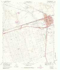
Historical Maps of Monahans Through Time
6 maps found
Featured Locations
Source Details
SourceU.S. Geological Survey
CopyrightPublic Domain