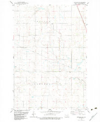
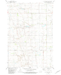
1982 Map of Monango NW
USGS Topo · Published 1983About this map
Potsdam and Hamburg townships define the local geography of this Dickey County prairie landscape as it appeared in the early 1980s. The settlement of Monango anchors the eastern edge of the survey, situated along the path of the Soo Line. This region is characterized by its organized agricultural grid and scattered water features, including the South Fork Maple River and Wilson Dam. For those researching local heritage, the map identifies specific community landmarks such as the Townhall and two religious burial grounds, Peace Cem and St Pauls Cem. The inclusion of these township boundaries and small-scale infrastructure provides a clear record of the rural social structure and land use in North Dakota toward the end of the 20th century.
Find a feature on this map
12 named features on this map. Tap any name to fly to it.
Don’t see what you’re looking for? This feature index may not catch every label — zoom into the map to look around manually.
Map Details
Editions of this 1982 Monango NW Map
This is the sole edition of this map. No revisions or reprints were ever made.
Other maps of this area

1894 · Monango
USGS Topo · 1:62,500

1896 · Edgeley
USGS Topo · 1:125,000

1925 · Edgeley
USGS Topo · 1:125,000

1953 · Jamestown
USGS Topo · 1:250,000

1956 · Jamestown
USGS Topo · 1:250,000
1956 · Ellendale North
USGS Topo · 1:24,000
1971 · Merricourt SE
USGS Topo · 1:24,000

1971 · Merricourt
USGS Topo · 1:24,000
1982 · Monango SW
USGS Topo · 1:24,000
1982 · Kulm-Edgeley Dam
USGS Topo · 1:24,000