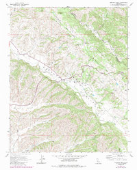
1967 Map of Monarch Peak
USGS Topo · Published 1984About this map
The Mustang Ridge San Andreas Rift Zone dominates this 1960s landscape, tracing the powerful geological divide through the interior of Monterey and San Benito Counties. This survey illustrates a complex network of deep canyons, including Griswold Canyon, Blair Canyon, and Tickner Canyon, which feed into the broader basins of Peachtree Valley and Long Valley.
Find a feature on this map
25 named features on this map. Tap any name to fly to it.
Don’t see what you’re looking for? This feature index may not catch every label — zoom into the map to look around manually.
Map Details
Editions of this 1967 Monarch Peak Map
3 editions found
Other maps of this area

1912 · San Ardo
USGS Topo · 1:31,680

1915 · Priest Valley
USGS Topo · 1:125,000

1941 · Priest Valley
USGS Topo · 1:62,500

1941 · San Ardo
USGS Topo · 1:62,500

1943 · New Idria
USGS Topo · 1:62,500

1943 · San Ardo
USGS Topo · 1:62,500

1943 · Hernandez Valley
USGS Topo · 1:62,500

1944 · Hernandez Valley
USGS Topo · 1:62,500

1944 · Priest Valley
USGS Topo · 1:62,500

1948 · Santa Cruz
USGS Topo · 1:250,000