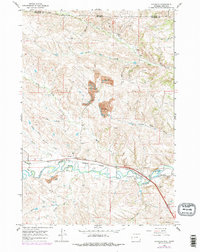
1964 Map of Monarch
USGS Topo · Published 1978About this map
The Tongue River meanders through this landscape on the Wyoming-Montana border, following a valley where the industrial and natural worlds collide. The corridor is defined by the Burlington Northern railroad, which services the coal-rich terrain of the Monarch and Kleenburn areas. Extensive Strip Mine operations are prominently etched into the hills between Slater Creek and Ash Creek, while scattered Oil Wells and a Drift Hole point to decades of subsurface extraction. This survey, updated in the late 1970s, captures the northern edge of Sheridan County just south of the Crow Indian Res Bdy. Evidence of local history is preserved at the Monarch Cem and several smaller gravel and mineral sites near the river. The complex drainage network, including Hidden Water Creek and the North Fork Dry Creek, illustrates the high-plains topography that shaped the region's ranching and mining developments.
Find a feature on this map
30 named features on this map. Tap any name to fly to it.
Don’t see what you’re looking for? This feature index may not catch every label — zoom into the map to look around manually.
Map Details
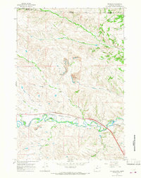
Editions of this 1964 Monarch Map
2 editions found
Other maps of this area

1894 · Rosebud
USGS Topo · 1:125,000

1895 · Dayton
USGS Topo · 1:125,000

1901 · Rosebud
USGS Topo · 1:125,000

1901 · Dayton
USGS Topo · 1:125,000

1909 · Sheridan
USGS Topo · 1:125,000

1911 · Sheridan
USGS Topo · 1:125,000

1954 · Hardin
USGS Topo · 1:250,000

1955 · Sheridan
USGS Topo · 1:250,000

1957 · Hardin
USGS Topo · 1:250,000

1958 · Hardin
USGS Topo · 1:250,000