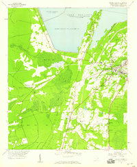
1958 Map of Moncks Corner
USGS Topo · Published 1959About this map
Moncks Corner and the surrounding Berkeley County landscape are defined by the mid-century waters of Lake Moultrie, which is held back by an extensive Dike system. The area represents a complex transition between the engineered reservoir and the low-lying wetlands of Black Tom Bay and Bee Tree Bay. A high density of rural religious life is evident through numerous landmarks such as St Johns Ch, Nazareth Ch, and The Oak Chapel, alongside small communities like Whitesville and Wampee. The Atlantic Coast Line railroad and an Old Railroad Grade cut through the terrain, illustrating the evolving transportation networks that supported this region near the Santee National Wildlife Refuge. Regional infrastructure, including the Moncks Corner Municipal Airport and the local Courthouse, anchors the town as a center of commerce and civic activity during the late 1950s.
Find a feature on this map
43 named features on this map. Tap any name to fly to it.
Don’t see what you’re looking for? This feature index may not catch every label — zoom into the map to look around manually.
Map Details
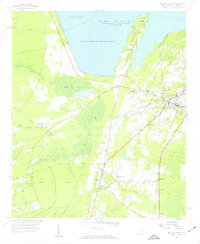
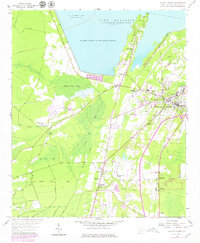
Editions of this 1958 Moncks Corner Map
3 editions found
Other maps of this area

1919 · Summerville
USGS Topo · 1:48,000

1919 · Cordesville
USGS Topo · 1:48,000

1920 · Chicora
USGS Topo · 1:48,000

1920 · Summerville
USGS Topo · 1:62,500

1921 · Chicora
USGS Topo · 1:62,500

1943 · Chicora
USGS Topo · 1:62,500

1943 · Bonneau
USGS Topo · 1:62,500

1944 · Summerville
USGS Topo · 1:62,500

1948 · Cordesville
USGS Topo · 1:24,000
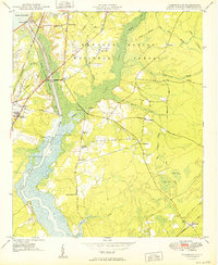
1949 · Cordesville
USGS Topo · 1:24,000