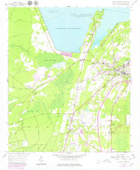
1958 Map of Moncks Corner
USGS Topo · Published 1979About this map
Lake Moultrie dominates the northern landscape of this South Carolina Lowcountry map, bordered by the West Dike and the Santee National Wildlife Refuge. The settlement pattern centers on the Moncks Corner hub, where the Seaboard Coast Line railroad and local infrastructure like the Berkeley County Airport and the county Courthouse define the mid-century civic center.
Find a feature on this map
37 named features on this map. Tap any name to fly to it.
Don’t see what you’re looking for? This feature index may not catch every label — zoom into the map to look around manually.
Map Details
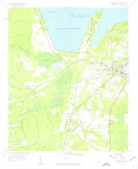
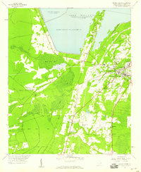
Editions of this 1958 Moncks Corner Map
3 editions found
Other maps of this area

1919 · Summerville
USGS Topo · 1:48,000

1919 · Cordesville
USGS Topo · 1:48,000

1920 · Chicora
USGS Topo · 1:48,000

1920 · Summerville
USGS Topo · 1:62,500

1921 · Chicora
USGS Topo · 1:62,500

1943 · Chicora
USGS Topo · 1:62,500

1943 · Bonneau
USGS Topo · 1:62,500

1944 · Summerville
USGS Topo · 1:62,500

1948 · Cordesville
USGS Topo · 1:24,000
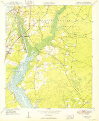
1949 · Cordesville
USGS Topo · 1:24,000