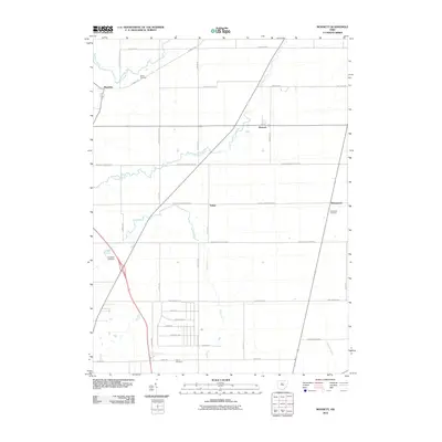
2010 Map of Monnett
USGS Topo · Published 2010About this map
Monnett and Kirkpatrick anchor this rural landscape in Marion County, where the headwaters of the Little Scioto River and Rock Fork define the drainage of the agricultural interior. The map reveals a high concentration of burial sites that trace the region's ancestral roots, including White Cemetery in the north and Likens Cemetery to the south. The road network is a grid of historic corridors like the Caledonia Mud Pike and Marseilles Galion RD E, which connect small crossroads such as Tobias and Wyandot. This 2010 survey illustrates a quintessential Midwestern township structure, where the Sandusky River clips the northwest corner and the Muskrat Ditch manages the low-lying terrain. For genealogists, the distinct placement of Burtsfield Cemetery and Kirkpatrick Cemetery alongside family-named routes like Tobias RD and Knauss RD provides precise geographic context for local lineage research.
Find a feature on this map
40 named features on this map. Tap any name to fly to it.
Don’t see what you’re looking for? This feature index may not catch every label — zoom into the map to look around manually.
Map Details
Editions of this 2010 Monnett Map
This is the sole edition of this map. No revisions or reprints were ever made.
Other maps of this area

1903 · Marion
USGS Topo · 1:62,500

1905 · Marion
USGS Topo · 1:62,500

1906 · Sycamore
USGS Topo · 1:62,500

1913 · Mount Gilead
USGS Topo · 1:62,500

1915 · Bucyrus
USGS Topo · 1:62,500

1916 · Mount Gilead
USGS Topo · 1:62,500

1943 · Bucyrus
USGS Topo · 1:62,500

1943 · Mount Gilead
USGS Topo · 1:62,500

1950 · Marion
USGS Topo · 1:250,000

1960 · Oceola
USGS Topo · 1:24,000