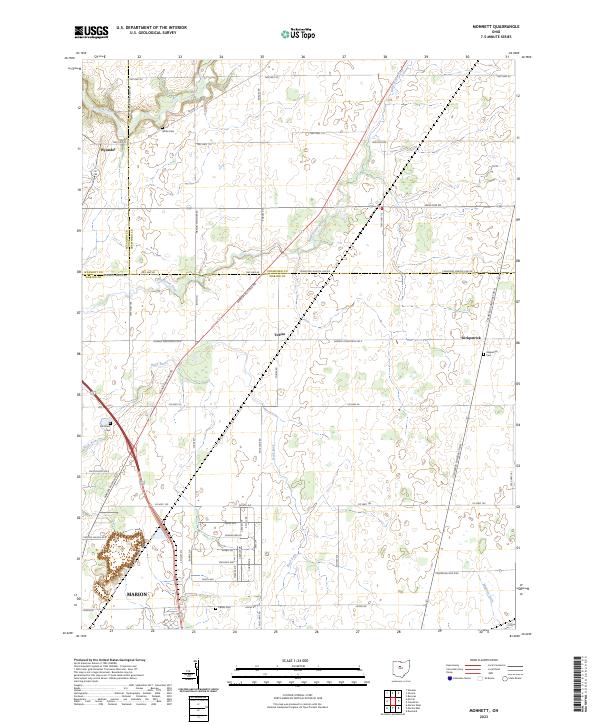
2023 Map of Monnett
USGS Topo · Published 2023About this map
Marion territory meets the rural boundaries of Wyandot and Crawford counties in this detailed topographic study of north-central Ohio. The landscape is defined by the headwaters and drainage of several water bodies, most notably the Sandusky River in the northwest and the south-flowing Little Scioto River. This region preserves a traditional agricultural layout, with the small settlements of Tobias and Kirkpatrick serving as local landmarks among a grid of township and county line roads.
Find a feature on this map
48 named features on this map. Tap any name to fly to it.
Don’t see what you’re looking for? This feature index may not catch every label — zoom into the map to look around manually.
Map Details
Editions of this 2023 Monnett Map
This is the sole edition of this map. No revisions or reprints were ever made.
Other maps of this area

1903 · Marion
USGS Topo · 1:62,500

1905 · Marion
USGS Topo · 1:62,500

1906 · Sycamore
USGS Topo · 1:62,500

1913 · Mount Gilead
USGS Topo · 1:62,500

1915 · Bucyrus
USGS Topo · 1:62,500

1916 · Mount Gilead
USGS Topo · 1:62,500

1943 · Bucyrus
USGS Topo · 1:62,500

1943 · Mount Gilead
USGS Topo · 1:62,500

1950 · Marion
USGS Topo · 1:250,000

1960 · Oceola
USGS Topo · 1:24,000