
1922 Map of Monroe
USGS Topo · Published 1922About this map
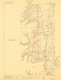
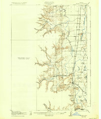
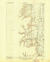
The Long Tom River and its complex network of sloughs and oxbow lakes define this Willamette Valley landscape as it appeared during the early twentieth century. Small rural communities like Monroe and Bellfountain anchor a territory transitioning from river-based transport to rail and road. The Southern Pacific railroad cuts a north-south line through the valley, passing through junctions and whistle-stops such as Alpine Junc and Bruce. This 1911 survey preserves the location of numerous one-room schoolhouses, including Belknap School, Irish Bend School, and Redoak School, which served the scattered farming families of the era. To the east, the map shows the flat, wetland-heavy character of the valley floor with features like Garlinghouse Lake and Vatman Slough, while to the west, the terrain rises sharply toward Sheridan Peak and the Coast Range foothills.
Find a feature on this map
50 named features on this map. Tap any name to fly to it.
Don’t see what you’re looking for? This feature index may not catch every label — zoom into the map to look around manually.
Map Details
Editions of this 1922 Monroe Map
4 editions found
Other maps of this area

1909 · Harrisburg
USGS Topo · 1:31,680

1909 · Elmira
USGS Topo · 1:62,500

1910 · Eugene
USGS Topo · 1:62,500

1911 · Monroe
USGS Topo · 1:31,680

1911 · Inavale
USGS Topo · 1:31,680

1912 · Halsey
USGS Topo · 1:62,500

1913 · Philomath
USGS Topo · 1:31,680

1913 · Oakville
USGS Topo · 1:31,680

1916 · Albany
USGS Topo · 1:62,500

1921 · Corvallis
USGS Topo · 1:62,500