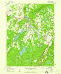
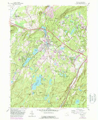
1957 Map of Monroe
USGS Topo · Published 1959About this map
Schunemunk Mountain and the surrounding highlands dominate this late 1950s survey of Orange County. The valley floor is anchored by the village of Monroe, where the Erie RR and major roads like the Dunderberg Highway converge at Harriman. Cultural preservation is evident at Smiths Clove (Museum Village), while the region's industrial past is marked by the Bull Mine on the slopes of Bull Mine Mtn.
Find a feature on this map
82 named features on this map. Tap any name to fly to it.
Don’t see what you’re looking for? This feature index may not catch every label — zoom into the map to look around manually.
Map Details
Editions of this 1957 Monroe Map
5 editions found
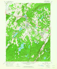
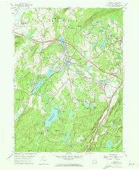
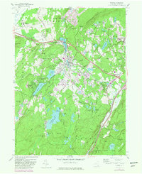
Other maps of this area

1891 · Greenwood Lake
USGS Topo · 1:62,500

1891 · Ramapo
USGS Topo · 1:62,500

1893 · Greenwood Lake
USGS Topo · 1:62,500

1893 · Ramapo
USGS Topo · 1:62,500

1902 · Schunemunk
USGS Topo · 1:62,500

1903 · Greenwood Lake
USGS Topo · 1:62,500

1906 · Goshen
USGS Topo · 1:62,500

1908 · Goshen
USGS Topo · 1:62,500

1910 · Ramapo
USGS Topo · 1:62,500

1910 · Greenwood Lake
USGS Topo · 1:62,500