
1964 Map of Monroe
USGS Topo · Published 1965About this map
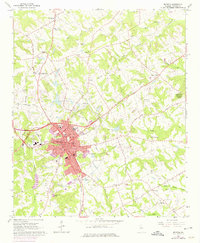
Monroe serves as the focal point of this mid-century survey, shown at a time of local growth and civic consolidation. The city center is densely detailed with municipal landmarks including the Mem Library, City Hall, and the Fire Sta. Educational life is represented by Carver High Sch and the local High Sch, while the Nowell Recreation Center and a Golf Course indicate the development of community spaces.
Find a feature on this map
69 named features on this map. Tap any name to fly to it.
Don’t see what you’re looking for? This feature index may not catch every label — zoom into the map to look around manually.
Map Details
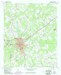
Editions of this 1964 Monroe Map
3 editions found
Other maps of this area

1896 · Monroe
USGS Topo · 1:125,000

1953 · Athens
USGS Topo · 1:250,000

1958 · Athens
USGS Topo · 1:250,000

1959 · Athens
USGS Topo · 1:250,000

1963 · Athens
USGS Topo · 1:250,000

1964 · Bold Springs
USGS Topo · 1:24,000

1964 · Between
USGS Topo · 1:24,000

1964 · High Shoals
USGS Topo · 1:24,000

1964 · Winder South
USGS Topo · 1:24,000
1964 · Statham
USGS Topo · 1:24,000