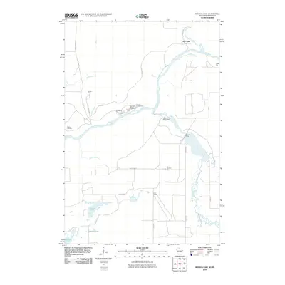
2010 Map of Monson Lake
USGS Topo · Published 2010About this map
The Saint Croix River serves as the focal point for this landscape, forming the boundary between Minnesota and Wisconsin. Along its banks, the Saint Johns Landing Camp and Fleming Camp reflect the area's timber and recreation history, connected by a network of specialized roads like the Fleming Logging Rd. The river system is further defined by the Clam River and its associated Clam River Flowage, managed by infrastructure such as the Clam River 2WP516 Dam and Balcom Bridge.
Find a feature on this map
43 named features on this map. Tap any name to fly to it.
Don’t see what you’re looking for? This feature index may not catch every label — zoom into the map to look around manually.
Map Details
Editions of this 2010 Monson Lake Map
This is the sole edition of this map. No revisions or reprints were ever made.
Other maps of this area

1949 · Danbury
USGS Topo · 1:48,000

1950 · Webster
USGS Topo · 1:48,000

1950 · Grantsburg
USGS Topo · 1:48,000

1953 · Duluth
USGS Topo · 1:250,000

1953 · Stillwater
USGS Topo · 1:250,000

1955 · Webster
USGS Topo · 1:62,500

1955 · Stillwater
USGS Topo · 1:250,000

1958 · Stillwater
USGS Topo · 1:250,000

1958 · Duluth
USGS Topo · 1:250,000

1962 · Cloverdale
USGS Topo · 1:62,500