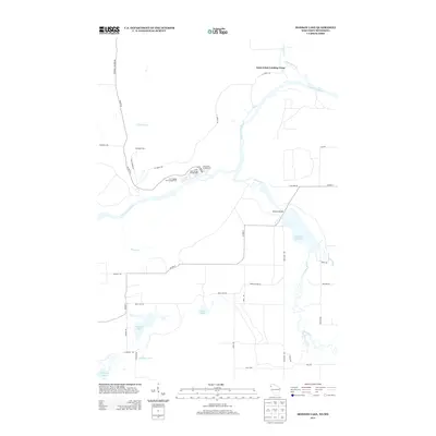
2013 Map of Monson Lake
USGS Topo · Published 2013About this map
The Saint Croix River serves as the dominant geographical feature on this boundary map of Pine County, Minnesota, and Burnett County, Wisconsin. In the early 2010s, this landscape is defined by its recreational and conservation character, notably featuring several managed camping areas such as the Saint Johns Landing Camp and Fleming Camp. The convergence of the Clam River and the Saint Croix provides a look at the hydraulic network that once fueled regional timber operations, a history echoed by the Old Logging Trail Campground. Further south, the terrain transitions into a lake-dotted interior where Monson Lake and Reed Lake sit among a grid of rural routes including Monson Rd and Reed Lake Rd. The presence of the Clam River Flowage and Balcom Bridge highlights the modern management of these northern waterways for public use.
Find a feature on this map
40 named features on this map. Tap any name to fly to it.
Don’t see what you’re looking for? This feature index may not catch every label — zoom into the map to look around manually.
Map Details
Editions of this 2013 Monson Lake Map
This is the sole edition of this map. No revisions or reprints were ever made.
Other maps of this area

1949 · Danbury
USGS Topo · 1:48,000

1950 · Webster
USGS Topo · 1:48,000

1950 · Grantsburg
USGS Topo · 1:48,000

1953 · Duluth
USGS Topo · 1:250,000

1953 · Stillwater
USGS Topo · 1:250,000

1955 · Webster
USGS Topo · 1:62,500

1955 · Stillwater
USGS Topo · 1:250,000

1958 · Stillwater
USGS Topo · 1:250,000

1958 · Duluth
USGS Topo · 1:250,000

1962 · Cloverdale
USGS Topo · 1:62,500