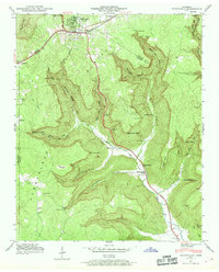
1950 Map of Monteagle
USGS Topo · Published 1969About this map
Monteagle sits atop the Cumberland Plateau in this mid-century survey, a focal point where the N C & St L RR and the Dixie Highway converge. The topography is dominated by the steep escarpments and deeply incised coves characteristic of the region, including Trussell Cove and Gaines Cove. The landscape is a network of small, isolated settlements and family landmarks such as Lappin Cem and Tate Cem, illustrating the rural Tennessee lifestyle before significant modernization. Water features like Bridal Veil Falls and Battle Creek carve through the sandstone, while named points like Raven Den Point provide distinct navigational markers along the plateau's edge. This map documents a period when local identity was closely tied to these specific landforms and small community institutions like St Johns Ch and Jumpoff Sch.
Find a feature on this map
45 named features on this map. Tap any name to fly to it.
Don’t see what you’re looking for? This feature index may not catch every label — zoom into the map to look around manually.
Map Details
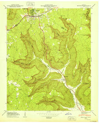
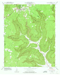
Editions of this 1950 Monteagle Map
3 editions found
Other maps of this area

1895 · Sewanee
USGS Topo · 1:125,000

1936 · Sewanee
USGS Topo · 1:24,000

1936 · Alto
USGS Topo · 1:24,000

1936 · Orme
USGS Topo · 1:24,000

1936 · Sinking Cove
USGS Topo · 1:24,000

1936 · Burrow Cove
USGS Topo · 1:24,000

1936 · Tracy City
USGS Topo · 1:24,000

1936 · Monteagle
USGS Topo · 1:24,000

1936 · White City
USGS Topo · 1:24,000
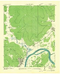
1936 · South Pittsburg
USGS Topo · 1:24,000