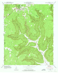
1950 Map of Monteagle
USGS Topo · Published 1975About this map
The Cumberland Plateau dominates this topographic study, where the town of Monteagle sits atop the high ground before the land drops sharply into a complex system of coves. The 1950 revision shows the Dixie Highway snaking through the valley alongside Battle Creek, a critical transportation corridor through the mountain terrain. This era captures the area's rural social infrastructure, with remote mountain institutions like Jumpoff Sch and St Johns Ch serving isolated communities.
Find a feature on this map
50 named features on this map. Tap any name to fly to it.
Don’t see what you’re looking for? This feature index may not catch every label — zoom into the map to look around manually.
Map Details
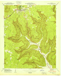
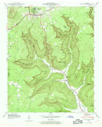
Editions of this 1950 Monteagle Map
3 editions found
Other maps of this area

1895 · Sewanee
USGS Topo · 1:125,000

1936 · Sewanee
USGS Topo · 1:24,000

1936 · Alto
USGS Topo · 1:24,000

1936 · Orme
USGS Topo · 1:24,000

1936 · Sinking Cove
USGS Topo · 1:24,000

1936 · Burrow Cove
USGS Topo · 1:24,000

1936 · Tracy City
USGS Topo · 1:24,000

1936 · Monteagle
USGS Topo · 1:24,000

1936 · White City
USGS Topo · 1:24,000
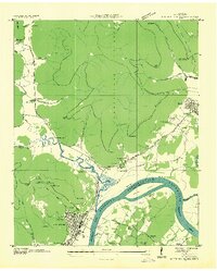
1936 · South Pittsburg
USGS Topo · 1:24,000