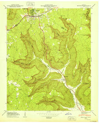
1950 Map of Monteagle
USGS Topo · Published 1950About this map
Monteagle sits atop the Cumberland Plateau during a period of transition for South Central Tennessee, serving as a gateway between the high plateau and the deep coves of the Battle Creek drainage system. The town is a critical junction for regional travel, where the N C & St L Ry and the Dixie Highway meet near the Grundy and Marion County line. The topography is defined by dramatic escarpments and numerous coves, including Ladd Cove and Cave Cove, which provided natural boundaries for early settlers.
Find a feature on this map
51 named features on this map. Tap any name to fly to it.
Don’t see what you’re looking for? This feature index may not catch every label — zoom into the map to look around manually.
Map Details
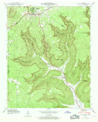
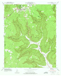
Editions of this 1950 Monteagle Map
3 editions found
Other maps of this area

1895 · Sewanee
USGS Topo · 1:125,000

1936 · Sewanee
USGS Topo · 1:24,000

1936 · Alto
USGS Topo · 1:24,000

1936 · Orme
USGS Topo · 1:24,000

1936 · Sinking Cove
USGS Topo · 1:24,000

1936 · Burrow Cove
USGS Topo · 1:24,000

1936 · Tracy City
USGS Topo · 1:24,000

1936 · Monteagle
USGS Topo · 1:24,000

1936 · White City
USGS Topo · 1:24,000
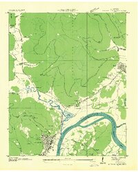
1936 · South Pittsburg
USGS Topo · 1:24,000