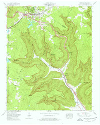
1974 Map of Monteagle
USGS Topo · Published 1977About this map
The Cumberland Plateau landscape around Monteagle and Summerfield is defined by sharp elevation changes where the plateau drops into deep coves. In the mid-1970s, this area served as a significant transportation corridor where the Louisville and Nashville railroad and the Dixie Hwy navigated the complex terrain. The map captures a transition from the structured town life of Monteagle—complete with an Athletic field and Silo—to the deeply dissected valleys of Ladd Cove and Cave Cove.
Find a feature on this map
61 named features on this map. Tap any name to fly to it.
Don’t see what you’re looking for? This feature index may not catch every label — zoom into the map to look around manually.
Map Details
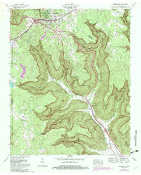
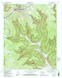
Editions of this 1974 Monteagle Map
3 editions found
Other maps of this area

1895 · Sewanee
USGS Topo · 1:125,000

1936 · Sewanee
USGS Topo · 1:24,000

1936 · Alto
USGS Topo · 1:24,000

1936 · Orme
USGS Topo · 1:24,000

1936 · Sinking Cove
USGS Topo · 1:24,000

1936 · Burrow Cove
USGS Topo · 1:24,000

1936 · Tracy City
USGS Topo · 1:24,000

1936 · Monteagle
USGS Topo · 1:24,000

1936 · White City
USGS Topo · 1:24,000
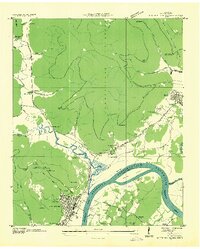
1936 · South Pittsburg
USGS Topo · 1:24,000