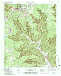
1974 Map of Monteagle
USGS Topo · Published 1983About this map
The Cumberland Plateau landscape around Monteagle is defined by a series of dramatic points and deep coves where the highland surface breaks away into the valley of Battle Creek. This 1974 revision shows the town's evolution as a mountaintop crossroads, where the Louisville and Nashville railroad tracks and the old Nashville Highway meet modern interstate interchanges. The topography is dotted with family-named landmarks and small burial grounds like Tate Cem and Trussell Cem, illustrating the deep-rooted settlement patterns of Grundy County and Marion County.
Find a feature on this map
61 named features on this map. Tap any name to fly to it.
Don’t see what you’re looking for? This feature index may not catch every label — zoom into the map to look around manually.
Map Details
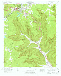
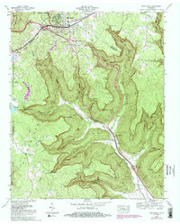
Editions of this 1974 Monteagle Map
3 editions found
Other maps of this area

1895 · Sewanee
USGS Topo · 1:125,000

1936 · Sewanee
USGS Topo · 1:24,000

1936 · Alto
USGS Topo · 1:24,000

1936 · Orme
USGS Topo · 1:24,000

1936 · Sinking Cove
USGS Topo · 1:24,000

1936 · Burrow Cove
USGS Topo · 1:24,000

1936 · Tracy City
USGS Topo · 1:24,000

1936 · Monteagle
USGS Topo · 1:24,000

1936 · White City
USGS Topo · 1:24,000
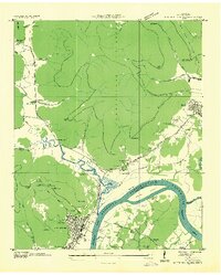
1936 · South Pittsburg
USGS Topo · 1:24,000