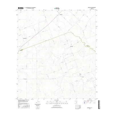
2016 Map of Monteola
USGS Topo · Published 2016About this map
Monteola and the surrounding rural landscapes of South Texas are defined by a network of creeks and county roads crossing the boundary between Karnes and Bee Counties. The drainage patterns are clearly marked by Medio Creek, Sulphur Creek, and Dry Medio Creek, which carve through the terrain and influence the placement of local thoroughfares like FM 2985. Small, dispersed settlements such as Zunkerville, Bainville, Caesar, and Pawnee reflect the area's agricultural character and low-density development. For those researching family history in the region, the Pullin-Livingston Cemetery is a significant landmark located near the intersection of County Road 129 and County Road 130, providing a tangible link to the area's local heritage and early residents.
Find a feature on this map
46 named features on this map. Tap any name to fly to it.
Don’t see what you’re looking for? This feature index may not catch every label — zoom into the map to look around manually.
Map Details
Editions of this 2016 Monteola Map
This is the sole edition of this map. No revisions or reprints were ever made.
Other maps of this area

1931 · Falls City
USGS Topo · 1:62,500

1936 · Pettus
USGS Topo · 1:62,500

1953 · Crystal City
USGS Topo · 1:250,000

1953 · Beeville
USGS Topo · 1:250,000

1955 · Crystal City
USGS Topo · 1:250,000

1956 · Suniland
USGS Topo · 1:62,500

1956 · Beeville
USGS Topo · 1:250,000

1956 · Pettus
USGS Topo · 1:62,500

1956 · Karnes City
USGS Topo · 1:62,500

1960 · Beeville
USGS Topo · 1:250,000