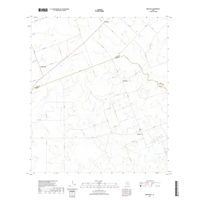
2019 Map of Monteola
USGS Topo · Published 2019About this map
Monteola and Bainville anchor this rural Texas landscape where the undulating drainage systems of the San Antonio River basin define the local topography. The meandering course of Medio Cr and its tributary, Dry Medio Cr, cut across the central and southern portions of the map, carving shallow valleys through the South Texas Plains. These watercourses have historically dictated the placement of roads and farmsteads in Karnes and Bee Counties, creating a web of county roads that follow the high ground between the creeks.
Find a feature on this map
44 named features on this map. Tap any name to fly to it.
Don’t see what you’re looking for? This feature index may not catch every label — zoom into the map to look around manually.
Map Details
Editions of this 2019 Monteola Map
This is the sole edition of this map. No revisions or reprints were ever made.
Other maps of this area

1931 · Falls City
USGS Topo · 1:62,500

1936 · Pettus
USGS Topo · 1:62,500

1953 · Crystal City
USGS Topo · 1:250,000

1953 · Beeville
USGS Topo · 1:250,000

1955 · Crystal City
USGS Topo · 1:250,000

1956 · Suniland
USGS Topo · 1:62,500

1956 · Beeville
USGS Topo · 1:250,000

1956 · Pettus
USGS Topo · 1:62,500

1956 · Karnes City
USGS Topo · 1:62,500

1960 · Beeville
USGS Topo · 1:250,000