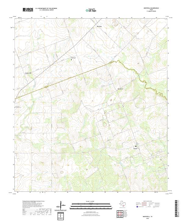
2022 Map of Monteola
USGS Topo · Published 2022About this map
Monteola and several small rural settlements anchor this landscape along the Karnes Co Bee Co border, where the terrain is defined by the winding drainages of the San Antonio River basin. This survey documents a quiet ranching and agricultural region where local history is preserved at family and community sites like the Pullin - Livingston Cem and the Elm Lutheran Church Cem. The network of county roads, such as Co RD 181 and Co RD 154, connects scattered hamlets like Zunkerville and Bainville across a land dissected by Sulphur Cr and Medio Cr. The map's detail provides genealogists and local historians with a precise record of these interior settlements and their associated landmarks, including Our Lady of Guadalupe Cem near the western edge.
Find a feature on this map
50 named features on this map. Tap any name to fly to it.
Don’t see what you’re looking for? This feature index may not catch every label — zoom into the map to look around manually.
Map Details
Editions of this 2022 Monteola Map
This is the sole edition of this map. No revisions or reprints were ever made.
Other maps of this area

1931 · Falls City
USGS Topo · 1:62,500

1936 · Pettus
USGS Topo · 1:62,500

1953 · Crystal City
USGS Topo · 1:250,000

1953 · Beeville
USGS Topo · 1:250,000

1955 · Crystal City
USGS Topo · 1:250,000

1956 · Suniland
USGS Topo · 1:62,500

1956 · Beeville
USGS Topo · 1:250,000

1956 · Pettus
USGS Topo · 1:62,500

1956 · Karnes City
USGS Topo · 1:62,500

1960 · Beeville
USGS Topo · 1:250,000