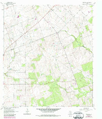
1963 Map of Monteola
USGS Topo · Published 1982About this map
The rolling South Texas plains of the Karnes Co Bee Co border reveal a landscape defined by ranching and resource extraction in the early 1960s. Rural settlements like Monteola and Caesar anchor the area, with the latter situated at the heart of the Caesar Oil Field, where numerous oil wells dot the terrain. The presence of the Pullin Livingston Cem and Elim Ch suggests deep-rooted family ties in this pocket of Bee County, while several Gravel Pits indicate the local industrial activity of the period.
Find a feature on this map
14 named features on this map. Tap any name to fly to it.
Don’t see what you’re looking for? This feature index may not catch every label — zoom into the map to look around manually.
Map Details
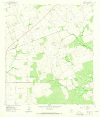
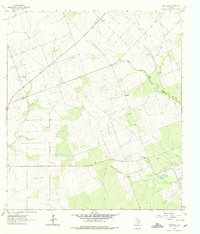
Editions of this 1963 Monteola Map
3 editions found
Other maps of this area

1931 · Falls City
USGS Topo · 1:62,500

1936 · Pettus
USGS Topo · 1:62,500

1953 · Crystal City
USGS Topo · 1:250,000

1953 · Beeville
USGS Topo · 1:250,000

1955 · Crystal City
USGS Topo · 1:250,000

1956 · Suniland
USGS Topo · 1:62,500

1956 · Beeville
USGS Topo · 1:250,000

1956 · Pettus
USGS Topo · 1:62,500

1956 · Karnes City
USGS Topo · 1:62,500

1960 · Beeville
USGS Topo · 1:250,000