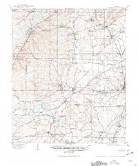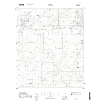
1980 Map of Montevallo
USGS Topo · Published 1980About this map
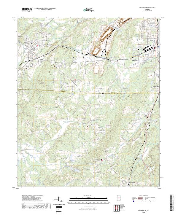
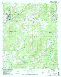
The University of Montevallo anchors the northwestern corner of this Shelby and Chilton County borderland, where the industrial and educational character of Alabama's interior is clearly visible. The landscape is defined by the heavy presence of extractive industry, particularly the extensive Quarry operations and Tailings near Roberta. This economic activity is balanced by a strong network of rural community institutions, evidenced by a high density of country churches and family burial grounds including Dry Creek Ch, Clarks Chapel, and the Old Rock Springs Cem.
Find a feature on this map
50 named features on this map. Tap any name to fly to it.
Don’t see what you’re looking for? This feature index may not catch every label — zoom into the map to look around manually.
Map Details
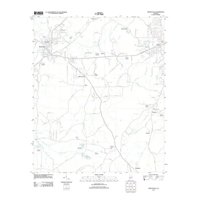
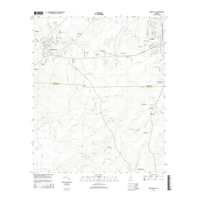
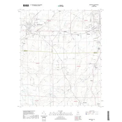
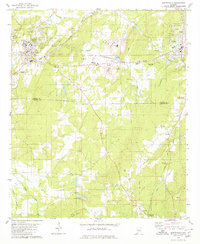
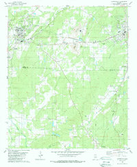
Editions of this 1980 Montevallo Map
3 editions found
Historical Maps of Calera Through Time
7 maps found