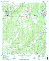
1980 Map of Montevallo
USGS Topo · Published 1987About this map
Montevallo serves as the focal point of this Shelby County landscape, anchored by the University of Montevallo and its surrounding institutional infrastructure like the Filtration Plant. The town is a junction for regional transport, where the Southern and Louisville And Nashville rail lines bisect the terrain. Industrial activity is concentrated east of town near Roberta, where several Quarry sites and Tailings suggest the importance of local lime or stone extraction within the DRY Valley.
Find a feature on this map
49 named features on this map. Tap any name to fly to it.
Don’t see what you’re looking for? This feature index may not catch every label — zoom into the map to look around manually.
Map Details
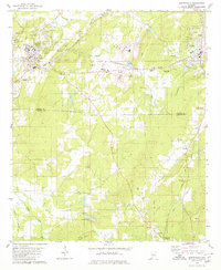
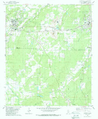
Editions of this 1980 Montevallo Map
3 editions found
Other maps of this area

1890 · Bessemer
USGS Topo · 1:125,000

1891 · Clanton
USGS Topo · 1:125,000

1892 · Bessemer
USGS Topo · 1:125,000

1909 · Columbiana
USGS Topo · 1:62,500

1910 · Montevallo
USGS Topo · 1:62,500

1911 · Columbiana
USGS Topo · 1:62,500

1953 · Montgomery
USGS Topo · 1:250,000

1953 · Birmingham
USGS Topo · 1:250,000

1956 · Birmingham
USGS Topo · 1:250,000

1956 · Montgomery
USGS Topo · 1:250,000