
1952 Map of Montezuma Peak
USGS Topo · Published 1957About this map
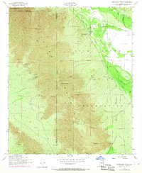
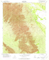
The Sierra Estrella mountain range dominates this 1952 topographic study, marking the rugged divide between the Gila and Santa Cruz basins in Pinal and Maricopa counties. Within the Gila River Indian Reservation, the landscape is defined by massive peaks including Montezuma Peak, Montezumas Head, and Butterfly Mtn. These formations served as significant navigational markers and cultural landmarks for generations. Settlement activity is concentrated along the ephemeral waterways of Santa Cruz Wash and Vekol Wash, where the community of Santa Cruz and St Catherines Ch are located.
Find a feature on this map
17 named features on this map. Tap any name to fly to it.
Don’t see what you’re looking for? This feature index may not catch every label — zoom into the map to look around manually.
Map Details
Editions of this 1952 Montezuma Peak Map
3 editions found
Other maps of this area

1912 · Phoenix
USGS Topo · 1:62,500

1913 · Maricopa
USGS Topo · 1:62,500

1914 · Phoenix
USGS Topo · 1:62,500

1915 · Maricopa
USGS Topo · 1:62,500

1946 · Avondale
USGS Topo · 1:62,500

1948 · Cashion
USGS Topo · 1:62,500

1951 · Mobile
USGS Topo · 1:62,500

1952 · Maricopa
USGS Topo · 1:24,000

1952 · Lone Butte
USGS Topo · 1:24,000

1952 · Laveen
USGS Topo · 1:24,000