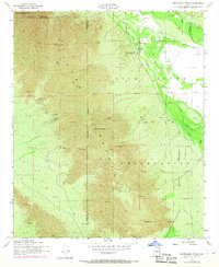
1952 Map of Montezuma Peak
USGS Topo · Published 1968About this map
The Gila River Indian Reservation dominates this 1950s landscape where the high peaks of the Sierra Estrella range meet the desert floor of the Gila Valley. Prominent landmarks such as Montezuma Peak, Montezumas Head, and the anthropomorphically named Montezuma Sleeping rise above the surrounding terrain, providing a dramatic backdrop to the tribal lands.
Find a feature on this map
17 named features on this map. Tap any name to fly to it.
Don’t see what you’re looking for? This feature index may not catch every label — zoom into the map to look around manually.
Map Details
Editions of this 1952 Montezuma Peak Map
3 editions found

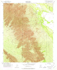
Other maps of this area

1912 · Phoenix
USGS Topo · 1:62,500

1913 · Maricopa
USGS Topo · 1:62,500

1914 · Phoenix
USGS Topo · 1:62,500

1915 · Maricopa
USGS Topo · 1:62,500

1946 · Avondale
USGS Topo · 1:62,500

1948 · Cashion
USGS Topo · 1:62,500

1951 · Mobile
USGS Topo · 1:62,500

1952 · Maricopa
USGS Topo · 1:24,000

1952 · Lone Butte
USGS Topo · 1:24,000

1952 · Laveen
USGS Topo · 1:24,000