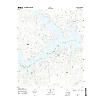
2016 Map of Monticello
USGS Topo · Published 2016About this map
Lake Bob Sandlin and the Monticello Reservoir dominate this landscape on the border of Titus and Camp Counties, illustrating the 21st-century management of water resources in Northeast Texas. The map highlights the rural settlement patterns around Monticello and Blodgett, where small communities are connected by a network of farm-to-market roads like FM 127 and FM 2882. In the southern portion of the quadrangle, Rocky Mound stands as a focal point for local history researchers and genealogists, situated near several watercourses including Picket Spring Br and Walkers Cr. The presence of the Brantley Cem west of Blodgett provides a specific point of interest for family history, while the complex shorelines of Lake Monticello reflect the area's transition from traditional agricultural land to a more reservoir-centered geography.
Find a feature on this map
102 named features on this map. Tap any name to fly to it.
Don’t see what you’re looking for? This feature index may not catch every label — zoom into the map to look around manually.
Map Details
Editions of this 2016 Monticello Map
This is the sole edition of this map. No revisions or reprints were ever made.
Other maps of this area

1953 · Texarkana
USGS Topo · 1:250,000

1956 · Texarkana
USGS Topo · 1:250,000

1956 · Tyler
USGS Topo · 1:250,000

1960 · Newsome
USGS Topo · 1:24,000

1960 · Leesburg
USGS Topo · 1:24,000

1960 · Pittsburg
USGS Topo · 1:24,000

1964 · Mount Vernon
USGS Topo · 1:24,000

1964 · Harvard
USGS Topo · 1:24,000

1965 · Winfield
USGS Topo · 1:24,000

1965 · Monticello
USGS Topo · 1:24,000