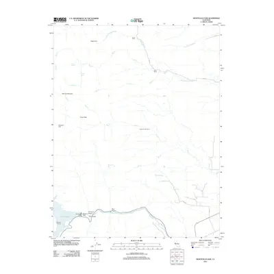
2012 Map of Monticello Dam
USGS Topo · Published 2012About this map
Monticello Dam stands as the central engineering feat in this 2012 survey, holding back the eastern edge of Lake Berryessa where the water funnels into Putah Cr. The landscape transitions from the massive reservoir into the steep, confined walls of Devils Gate and Thompson Canyon. This area is characterized by significant topographic relief, featuring prominent summits like Edgar Peak and Wild Cow Mountain, which overlook a network of seasonal drainages including Chickahominy Slough and Union School Slough.
Find a feature on this map
32 named features on this map. Tap any name to fly to it.
Don’t see what you’re looking for? This feature index may not catch every label — zoom into the map to look around manually.
Map Details
Editions of this 2012 Monticello Dam Map
This is the sole edition of this map. No revisions or reprints were ever made.
Other maps of this area

1902 · Napa
USGS Topo · 1:125,000

1905 · Esparto
USGS Topo · 1:24,000

1907 · Woodland
USGS Topo · 1:62,500

1908 · Vacaville
USGS Topo · 1:62,500

1916 · Jacobs Corner
USGS Topo · 1:31,680

1916 · Winters
USGS Topo · 1:31,680

1916 · Esparto
USGS Topo · 1:31,680

1917 · Wolfskill
USGS Topo · 1:31,680

1921 · Mt. Vaca
USGS Topo · 1:62,500

1924 · Capay
USGS Topo · 1:62,500