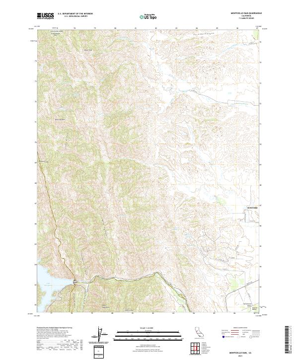
2021 Map of Monticello Dam
USGS Topo · Published 2021About this map
The eastern foothills of the Vaca Mountains meet the vast floor of the Sacramento Valley in this detailed 2021 survey of the California landscape. The city of Winters sits at the edge of the valley floor, where the terrain transitions from the steep ridges of Blue Ridge and Crane Ridge to the alluvial plains. This area is defined by its complex drainage network, where seasonal waterways like Chickahominy Slough and Union School Slough carry runoff toward the valley, and the prominent Putah Creek flows through Devils Gate below the massive reservoir of Lake Berryessa.
Find a feature on this map
49 named features on this map. Tap any name to fly to it.
Don’t see what you’re looking for? This feature index may not catch every label — zoom into the map to look around manually.
Map Details
Editions of this 2021 Monticello Dam Map
This is the sole edition of this map. No revisions or reprints were ever made.
Other maps of this area

1902 · Napa
USGS Topo · 1:125,000

1905 · Esparto
USGS Topo · 1:24,000

1907 · Woodland
USGS Topo · 1:62,500

1908 · Vacaville
USGS Topo · 1:62,500

1916 · Jacobs Corner
USGS Topo · 1:31,680

1916 · Winters
USGS Topo · 1:31,680

1916 · Esparto
USGS Topo · 1:31,680

1917 · Wolfskill
USGS Topo · 1:31,680

1921 · Mt. Vaca
USGS Topo · 1:62,500

1924 · Capay
USGS Topo · 1:62,500