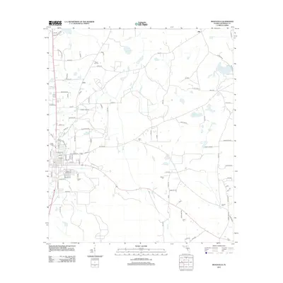
2012 Map of Monticello
USGS Topo · Published 2012About this map
The settlement of Texas Hill and the community of Dills anchor this survey of the northern Florida landscape in the early 21st century. The map reveals a high density of rural burial grounds, including the Walker Cemetery, Texas Hill Cem, and Roseland Cem, which serve as vital landmarks for genealogical research in Jefferson County. These sites are situated among a network of local thoroughfares such as Ashville Hwy and Jefferson Heights Rd, connecting family lands and agricultural plots.
Find a feature on this map
103 named features on this map. Tap any name to fly to it.
Don’t see what you’re looking for? This feature index may not catch every label — zoom into the map to look around manually.
Map Details
Editions of this 2012 Monticello Map
This is the sole edition of this map. No revisions or reprints were ever made.
Other maps of this area

1954 · Greenville
USGS Topo · 1:24,000

1954 · Valdosta
USGS Topo · 1:250,000

1955 · Lamont
USGS Topo · 1:24,000

1955 · Waukeenah
USGS Topo · 1:24,000

1956 · Grooverville
USGS Topo · 1:24,000

1956 · Monticello NE
USGS Topo · 1:24,000

1956 · Metcalf
USGS Topo · 1:24,000

1958 · Valdosta
USGS Topo · 1:250,000

1959 · Valdosta
USGS Topo · 1:250,000

1962 · Ashville
USGS Topo · 1:24,000