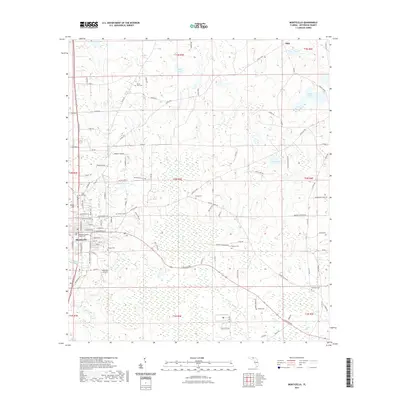
2021 Map of Monticello
USGS Topo · Published 2021About this map
The Jefferson County Courthouse stands at the center of Monticello, anchoring a landscape where North Florida's agricultural heritage meets modern surveying. This contemporary topographic view captures the transition from the town's historic street grid to the surrounding wet prairies and timberlands. Numerous family-named landmarks and burial grounds are distributed across the township lines, including Mount Zion Cem, Texas Hill Cem, and Sneeds Cem, which provide significant geographic anchors for genealogical research. The hydrology of the area is defined by scattered ponds and lakes such as Razor Lake, Simpson Lake, and Silver Lake, alongside the meandering course of Wolf Creek. Further out from the center, small settlements like Texas Hill and Dills are connected by a network of rural roads, while the Lakeview Airstrip marks a modern point of arrival south of the main township.
Find a feature on this map
110 named features on this map. Tap any name to fly to it.
Don’t see what you’re looking for? This feature index may not catch every label — zoom into the map to look around manually.
Map Details
Editions of this 2021 Monticello Map
This is the sole edition of this map. No revisions or reprints were ever made.
Other maps of this area

1954 · Greenville
USGS Topo · 1:24,000

1954 · Valdosta
USGS Topo · 1:250,000

1955 · Lamont
USGS Topo · 1:24,000

1955 · Waukeenah
USGS Topo · 1:24,000

1956 · Grooverville
USGS Topo · 1:24,000

1956 · Monticello NE
USGS Topo · 1:24,000

1956 · Metcalf
USGS Topo · 1:24,000

1958 · Valdosta
USGS Topo · 1:250,000

1959 · Valdosta
USGS Topo · 1:250,000

1962 · Ashville
USGS Topo · 1:24,000