2022 Map of Monticello South
USGS Topo · Published 2022About this map
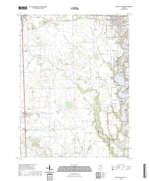
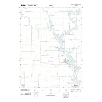
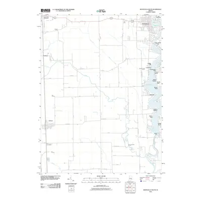
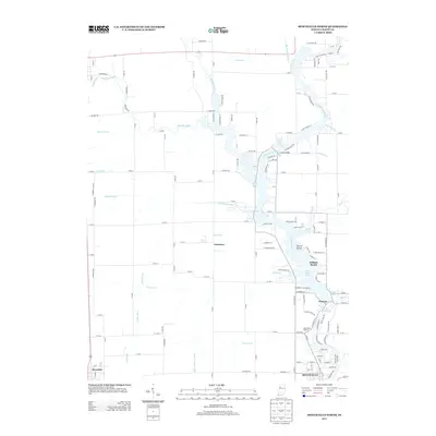
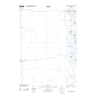
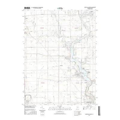
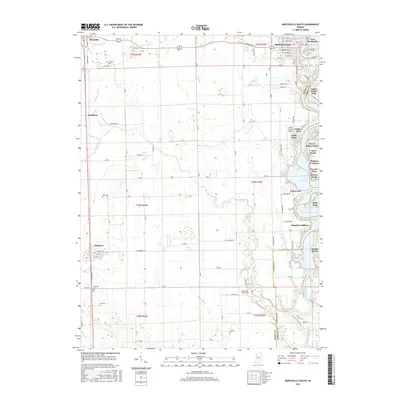
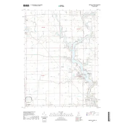
Lake Freeman and the Tippecanoe River dominate the eastern edge of this White County landscape, where the reservoir shoreline is dense with local developments such as Golden Hill, Scarlet Oaks, and Breezy Point. This 2022 survey captures the modern geography of Monticello, showing the County Government Center and the White County Airport as central hubs for the region. To the west, the terrain transitions into a strictly ordered grid of agricultural sections, drained by an extensive network of man-made waterways including Diener Ditch, Schroeder Ditch, and Big Creek. Genealogists will find several burial grounds distributed across these rural sections, such as Bunnell Cem and the Harvey and Phebus Cem. The southern extent of the map includes the community of Chalmers, while the northern portion reaches toward Reynolds, illustrating the transport connections between these farming townships and the river-oriented recreation areas to the east.
Find a feature on this map
80 named features on this map. Tap any name to fly to it.
Don’t see what you’re looking for? This feature index may not catch every label — zoom into the map to look around manually.
Map Details
Editions of this 2022 Monticello South Map
This is the sole edition of this map. No revisions or reprints were ever made.
Historical Maps of Monticello Through Time
24 maps found
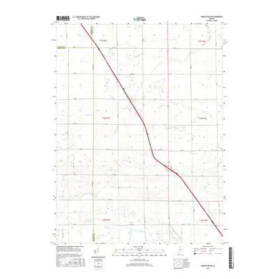
1962 Brookston NW
White County, IN
1962 Monticello North
White County, IN
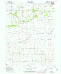
1962 Monticello South
White County, IN
1962 Templeton NE
White County, IN
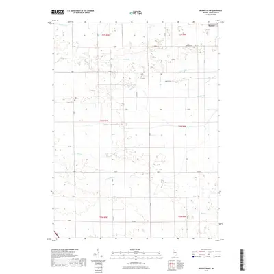
2010 Brookston NW
White County, IN
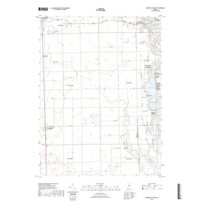
2010 Monticello North
White County, IN
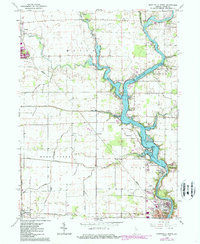
2010 Monticello South
White County, IN
2010 Templeton NE
White County, IN
2013 Brookston NW
White County, IN
2013 Monticello North
White County, IN
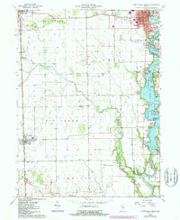
2013 Monticello South
White County, IN
2013 Templeton NE
White County, IN
2016 Brookston NW
White County, IN
2016 Monticello North
White County, IN
2016 Monticello South
White County, IN
2016 Templeton NE
White County, IN
2019 Brookston NW
White County, IN
2019 Monticello North
White County, IN
2019 Monticello South
White County, IN
2019 Templeton NE
White County, IN
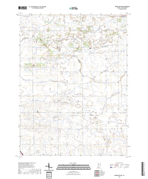
2022 Brookston NW
White County, IN
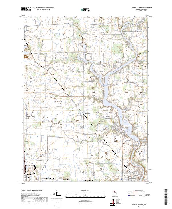
2022 Monticello North
White County, IN
2022 Monticello South
White County, IN
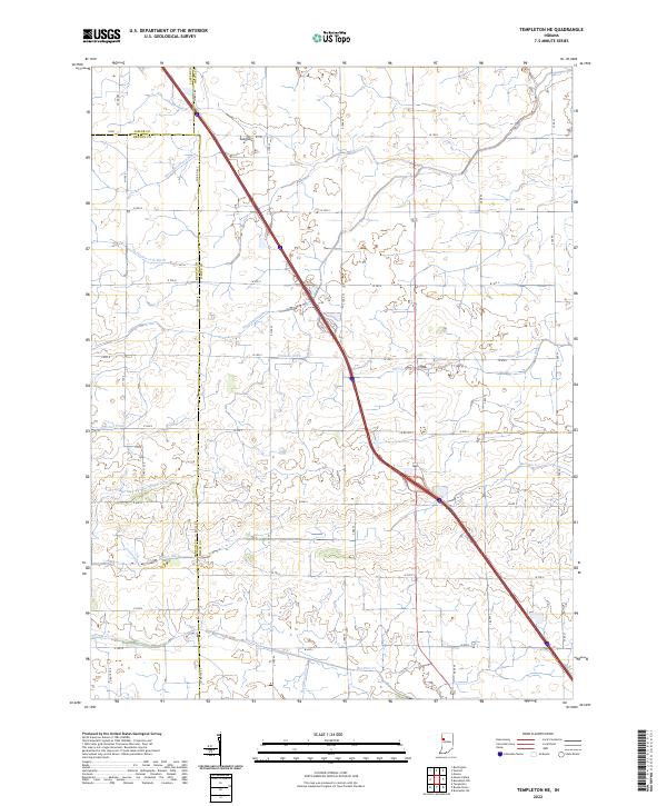
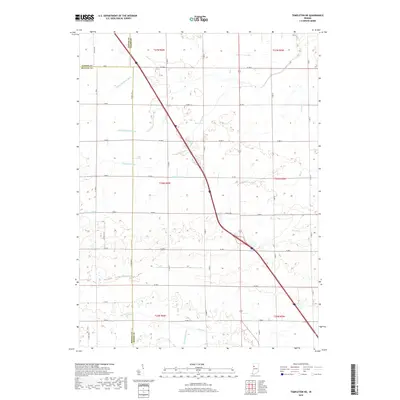
2022 Templeton NE
White County, IN