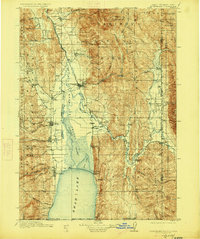
1911 Map of Montpelier
USGS Topo · Published 1946About this map
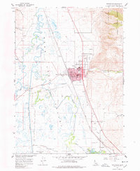
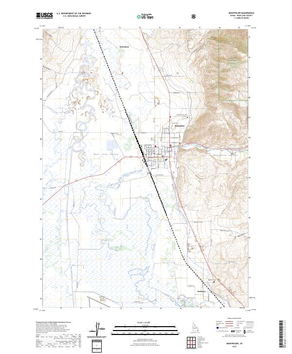
The Bear River winds through this high mountain valley, connecting a series of early agricultural settlements established along the base of the Sublette Range and Boundary Ridge. At the heart of the region, the industrial hub of Montpelier serves as a critical junction for the Oregon Short Line RR, which tracks north toward Novene and south toward Pegram. This 1909 survey documents the complex hydraulic environment of the southern valley, where the Telluride Canal and Bear Lake Outlet manage the flow between the sprawling Dingle Valley Swamp and Bear Lake. Smaller communities like Paris, St Charles, and Fish Haven hug the western shorelines, while the high peaks of Meade Peak and Bald Mountain dominate the surrounding Caribou National Forest.
Find a feature on this map
83 named features on this map. Tap any name to fly to it.
Don’t see what you’re looking for? This feature index may not catch every label — zoom into the map to look around manually.
Map Details
Editions of this 1911 Montpelier Map
3 editions found

Historical Maps of Montpelier Through Time
8 maps found