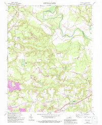
1969 Map of Montpelier
USGS Topo · Published 1985About this map
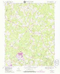
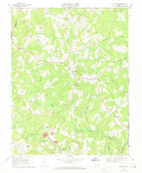
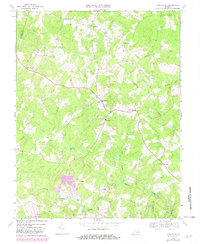
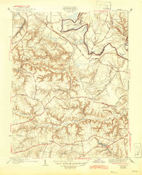
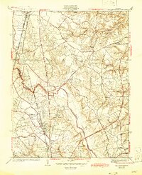
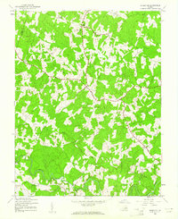
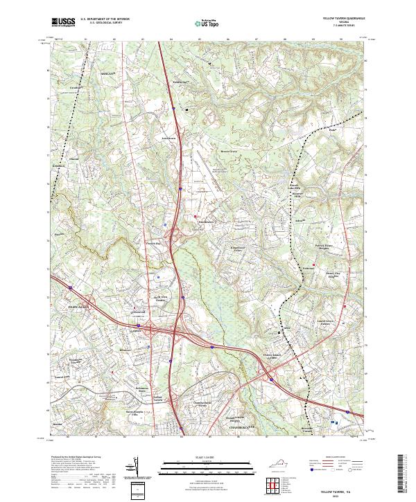
The South Anna River and its tributary, the Newfound River, define the rural character of this Hanover County landscape. Originally surveyed in 1969 with updates from the mid-1980s, the map illustrates a network of small crossroads communities such as Montpelier, Gouldin, and Mabelton. The social fabric of the era is evident in the concentration of local institutions, including Bethany Sch and several country churches like Pilgrim Ch and St Peters Ch. Industrial activity is marked by a Quarry and a large Tailings Pond near Gouldin, while a Landing Strip near Mabelton points to local aviation. The terrain is a complex drainage system where Wolf Swamp feeds into Taylors Creek, reflecting the natural landscape before significant suburban expansion reached this part of the Virginia interior.
Find a feature on this map
32 named features on this map. Tap any name to fly to it.
Don’t see what you’re looking for? This feature index may not catch every label — zoom into the map to look around manually.
Map Details
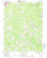
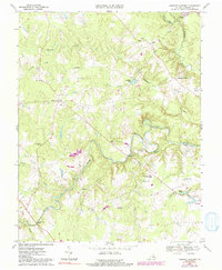
Editions of this 1969 Montpelier Map
3 editions found
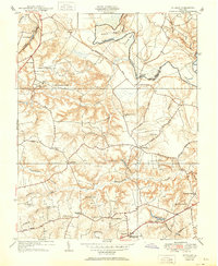
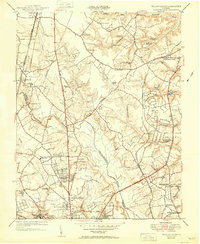
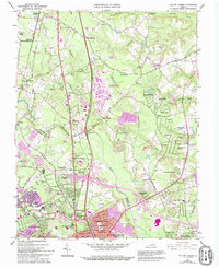
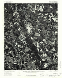
Historical Maps of Mabelton Through Time
20 maps found
1938 Studley
Hanover County, VA
1938 Yellow Tavern
Hanover County, VA
1942 Beaverdam
Hanover County, VA
1943 Beaverdam
Hanover County, VA
1943 Hanover Academy
Hanover County, VA
1943 Mabelton
Hanover County, VA
1951 Studley
Hanover County, VA
1951 Yellow Tavern
Hanover County, VA
1963 Yellow Tavern
Hanover County, VA
1964 Studley
Hanover County, VA
1969 Beaverdam
Hanover County, VA
1969 Hanover Academy
Hanover County, VA
1969 Montpelier
Hanover County, VA

1974 Studley
Hanover County, VA
1974 Yellow Tavern
Hanover County, VA
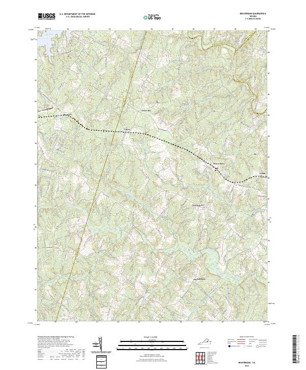
2022 Beaverdam
Hanover County, VA
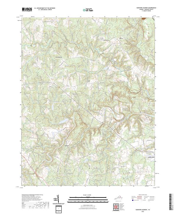
2022 Hanover Academy
Hanover County, VA
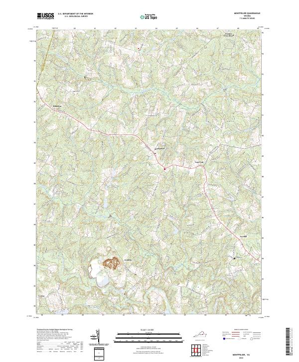
2022 Montpelier
Hanover County, VA
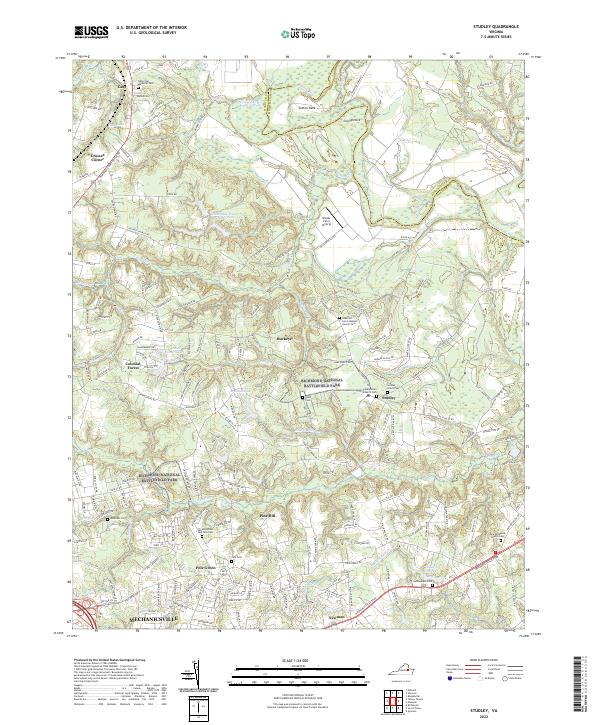
2022 Studley
Hanover County, VA
2022 Yellow Tavern
Hanover County, VA