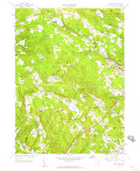
1958 Map of Montville
USGS Topo · Published 1959About this map
Oxoboxo Lake and the winding Oxoboxo Brook anchor the industrial and residential heart of this New London County landscape in the late 1950s. The map captures a transition between the established mill-and-quarry culture of Montville Center and the expanding residential corridors of Oakdale and Chesterfield. This era reveals a territory dense with family heritage, preserved in numerous small burial grounds such as Salem Cem (Private), Whitaker Cem, and Forsythe Cem.
Find a feature on this map
96 named features on this map. Tap any name to fly to it.
Don’t see what you’re looking for? This feature index may not catch every label — zoom into the map to look around manually.
Map Details
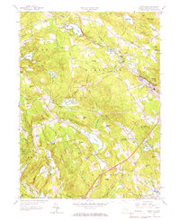
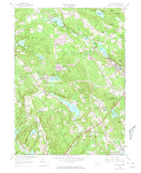
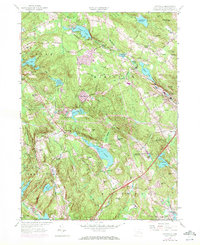
Editions of this 1958 Montville Map
4 editions found
Other maps of this area

1892 · New London
USGS Topo · 1:62,500

1892 · Norwich
USGS Topo · 1:62,500

1892 · Gilead
USGS Topo · 1:62,500

1893 · New London
USGS Topo · 1:62,500

1893 · Saybrook
USGS Topo · 1:62,500

1921 · New London
USGS Topo · 1:62,500

1934 · Niantic
USGS Topo · 1:24,000

1935 · Montville
USGS Topo · 1:24,000

1938 · New London
USGS Topo · 1:31,680

1938 · Niantic
USGS Topo · 1:62,500