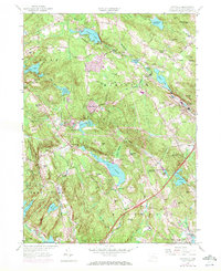
1958 Map of Montville
USGS Topo · Published 1972About this map
Oxoboxo Lake and the winding Oxoboxo Brook anchor this Connecticut landscape, which shows a transition from rural crossroads to mid-century development. The map details long-established hamlets such as Montville Center, Chesterfield, and Macks Mill, alongside several historic places of worship including Raymond Hill Ch and Chesterfield Ch. Significant infrastructure of the era is evident in the Penn Central rail line and the newly plotted Interchange 75.
Find a feature on this map
84 named features on this map. Tap any name to fly to it.
Don’t see what you’re looking for? This feature index may not catch every label — zoom into the map to look around manually.
Map Details
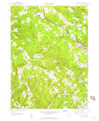
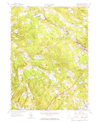
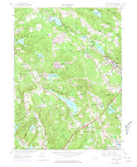
Editions of this 1958 Montville Map
4 editions found
Other maps of this area

1892 · New London
USGS Topo · 1:62,500

1892 · Norwich
USGS Topo · 1:62,500

1892 · Gilead
USGS Topo · 1:62,500

1893 · New London
USGS Topo · 1:62,500

1893 · Saybrook
USGS Topo · 1:62,500

1921 · New London
USGS Topo · 1:62,500

1934 · Niantic
USGS Topo · 1:24,000

1935 · Montville
USGS Topo · 1:24,000

1938 · New London
USGS Topo · 1:31,680

1938 · Niantic
USGS Topo · 1:62,500