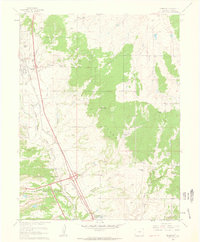
1961 Map of Monument
USGS Topo · Published 1963About this map
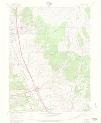
The United States Air Force Academy occupies the southern reaches of this landscape, established just years before this survey. The terrain transitions from the open plains and valley floor where Monument and Palmer Lake sit along the dual tracks of the Atchison Topeka and Santa Fe and the Denver and Rio Grande Western railroads, into the wooded heights of the Black Forest. This 1961 field-checked map captures a period of ranching prominence in El Paso County, documenting numerous family-held spreads such as Flying Horse Ranch, Wissler Ranch, and Rollin Ridge Ranch. Local social hubs like the Mt Herman Grange and the Black Forest Baptist Assembly serve the scattered rural community, while physical landmarks like the Cem near Palmer Lake provide specific points of interest for genealogists tracing early regional families.
Find a feature on this map
37 named features on this map. Tap any name to fly to it.
Don’t see what you’re looking for? This feature index may not catch every label — zoom into the map to look around manually.
Map Details
Editions of this 1961 Monument Map
7 editions found
Other maps of this area

1893 · Colorado Springs
USGS Topo · 1:125,000

1894 · Castle Rock
USGS Topo · 1:125,000

1909 · Colorado Springs
USGS Topo · 1:125,000

1913 · Castle Rock
USGS Topo · 1:125,000

1940 · Elbert
USGS Topo · 1:62,500

1942 · Colorado Springs
USGS Topo · 1:125,000

1944 · Elbert
USGS Topo · 1:62,500

1948 · Colorado Springs
USGS Topo · 1:62,500

1948 · Pikeview
USGS Topo · 1:24,000

1948 · Cascade
USGS Topo · 1:24,000