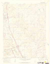
1961 Map of Monument
USGS Topo · Published 1963About this map
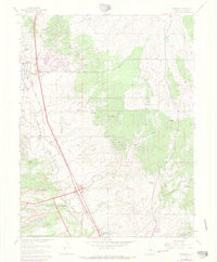
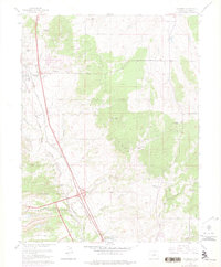
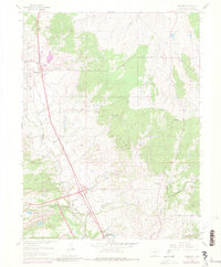
The United States Air Force Academy grounds dominate the southern reaches of this landscape, established just years before this survey. This military presence sits alongside the established towns of Monument and Palmer Lake, which were historically shaped by competing rail lines. The Atchison Topeka and Santa Fe and the Denver and Rio Grande Western railroads run parallel through the valley, tracing the path of Monument Creek. To the east, the terrain rises into the Black Forest, a region defined in the early 1960s by a cluster of named properties including Winkler Ranch, Rollin Ridge Ranch, and the Black Forest Baptist Assembly. Local social hubs like the Mt Herman Grange and the small settlement at Pring reflect the area's transition from a strictly ranching economy toward more specialized land use near the Front Range.
Find a feature on this map
39 named features on this map. Tap any name to fly to it.
Don’t see what you’re looking for? This feature index may not catch every label — zoom into the map to look around manually.
Map Details
Editions of this 1961 Monument Map
7 editions found
Other maps of this area

1893 · Colorado Springs
USGS Topo · 1:125,000

1894 · Castle Rock
USGS Topo · 1:125,000

1909 · Colorado Springs
USGS Topo · 1:125,000

1913 · Castle Rock
USGS Topo · 1:125,000

1940 · Elbert
USGS Topo · 1:62,500

1942 · Colorado Springs
USGS Topo · 1:125,000

1944 · Elbert
USGS Topo · 1:62,500

1948 · Colorado Springs
USGS Topo · 1:62,500

1948 · Pikeview
USGS Topo · 1:24,000

1948 · Cascade
USGS Topo · 1:24,000