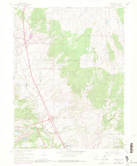
1961 Map of Monument
USGS Topo · Published 1980About this map
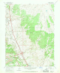
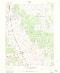
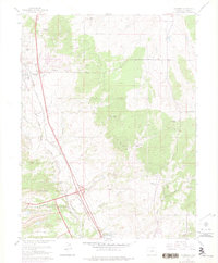
The United States Air Force Academy grounds dominate the southern portion of this region, revealing the early infrastructure of the sprawling military installation during the mid-20th century. To the north, the established settlements of Monument and Palmer Lake serve as anchors along the Denver and Rio Grande Western railroad line. The landscape is a network of ranching and early residential development, characterized by named properties like the Wisler Ranch and Misty Acres Ranch. A dense concentration of drainages, including Dirty Woman Creek and Jackson Creek, defines the local topography, while the eastern reaches show the rural character of the Black Forest Baptist Assembly. For those researching local genealogy, the map identifies small landmarks such as the Cem near Palmer Lake and the Mt Herman Grange, reflecting the area's agricultural and communal history before later suburban expansion.
Find a feature on this map
37 named features on this map. Tap any name to fly to it.
Don’t see what you’re looking for? This feature index may not catch every label — zoom into the map to look around manually.
Map Details
Editions of this 1961 Monument Map
7 editions found
Other maps of this area

1893 · Colorado Springs
USGS Topo · 1:125,000

1894 · Castle Rock
USGS Topo · 1:125,000

1909 · Colorado Springs
USGS Topo · 1:125,000

1913 · Castle Rock
USGS Topo · 1:125,000

1940 · Elbert
USGS Topo · 1:62,500

1942 · Colorado Springs
USGS Topo · 1:125,000

1944 · Elbert
USGS Topo · 1:62,500

1948 · Colorado Springs
USGS Topo · 1:62,500

1948 · Pikeview
USGS Topo · 1:24,000

1948 · Cascade
USGS Topo · 1:24,000