
1963 Map of Monument Hill
USGS Topo · Published 1972About this map
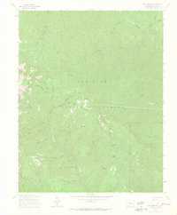
The high alpine environment of the San Juan National Forest defines this 1963 field-checked survey, dominated by a complex network of drainages and peaks north of Durango. Prospectors and miners left their mark across these slopes, evidenced by named sites like the Oro Fino Mine, Checkmate Mine, and Mary Mine. The terrain is characterized by steep descents into water bodies such as Hermosa Creek and Clear Creek, with prominent landmarks like Monument Hill and Sliderock Mountain anchoring the central topography.
Find a feature on this map
47 named features on this map. Tap any name to fly to it.
Don’t see what you’re looking for? This feature index may not catch every label — zoom into the map to look around manually.
Map Details
Editions of this 1963 Monument Hill Map
4 editions found
Other maps of this area

1895 · La Plata
USGS Topo · 1:62,500

1897 · La Plata
USGS Topo · 1:62,500

1897 · Rico
USGS Topo · 1:62,500

1898 · Durango
USGS Topo · 1:62,500

1898 · Engineer Mountain
USGS Topo · 1:62,500

1898 · Rico
USGS Topo · 1:62,500

1899 · La Plata
USGS Topo · 1:62,500

1899 · Rico
USGS Topo · 1:62,500

1900 · Engineer Mountain
USGS Topo · 1:62,500

1907 · Durango
USGS Topo · 1:62,500