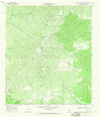
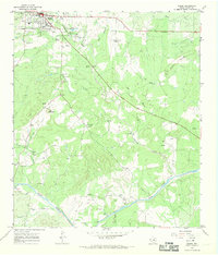
1967 Map of Monument Mountain SE
USGS Topo · Published 1970About this map
James River and Salt Creek converge in this section of Mason County, where the landscape is defined by the drainage patterns of the Texas Hill Country. During the late 1960s, this area remained largely undeveloped, characterized by cattle ranching infrastructure and mid-century utility expansions. Evidence of local ranching operations is visible through features like the Landing Strip and various water sources such as Windmill Draw and a remote Well. The map also captures the industrial footprint of the era, specifically the pipelines and a Pumping Sta that traverse the terrain near Monument Mountain. These labels reflect the integration of traditional land use with the necessary infrastructure for regional water and energy transport.
Find a feature on this map
11 named features on this map. Tap any name to fly to it.
Don’t see what you’re looking for? This feature index may not catch every label — zoom into the map to look around manually.
Map Details
Editions of this 1967 Monument Mountain SE Map
2 editions found
Other maps of this area

1887 · Mason
USGS Topo · 1:125,000

1894 · Mason
USGS Topo · 1:125,000

1894 · Kerrville
USGS Topo · 1:125,000

1954 · Llano
USGS Topo · 1:250,000

1955 · Llano
USGS Topo · 1:250,000

1956 · Llano
USGS Topo · 1:250,000
1967 · Panther Creek
USGS Topo · 1:24,000
1967 · Doss
USGS Topo · 1:24,000
1967 · Mason
USGS Topo · 1:24,000

1968 · Monument Mountain
USGS Topo · 1:24,000